Using Climate Data to Map and Fight Poverty in Ethiopia
 Ethiopia faces rising poverty risks as climate shocks intensify, yet traditional surveys capture these struggles years too late. A new approach using machine learning and climate data offers a faster, more cost-effective way to map poverty and guide timely interventions.
Using Climate Data to Fight Poverty in Ethiopia
Poverty surveys in Ethiopia are costly and infrequent, leaving policymakers with outdated information. A novel machine-learning method uses temperature and satellite imagery to predict poverty at a fraction of the cost and with much faster turnaround. This innovation promises to sharpen targeting of resources and improve climate resilience.
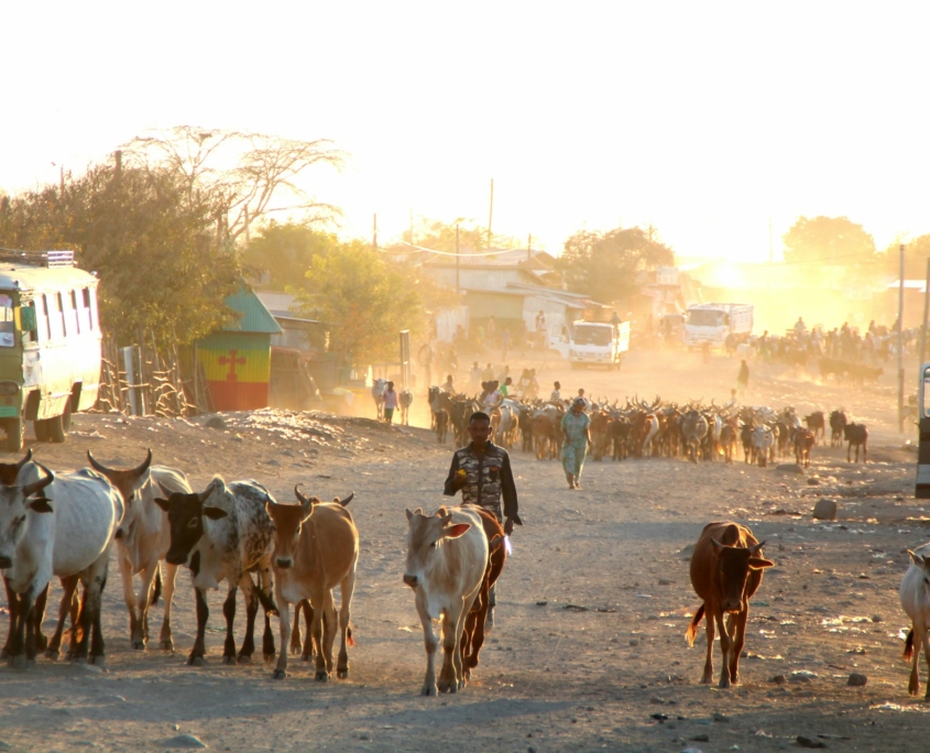
Ethiopia’s economy is agriculture-heavy, with more than 70% of livelihoods tied to climate-sensitive farming. Yet, poverty measurements rely on household surveys conducted every five to 10 years, which tend to fail to capture sudden crises like droughts. These long intervals and high costs mean that aid often misses emerging hotspots of need.
Machine Learning and Climate Data
The process involves a two-step transfer learning model: it first trains a neural network to predict surface temperature from satellite images, then extracts image features useful for predicting household consumption as an indicator of poverty. The model achieves 80% accuracy in temperature prediction and offers poverty estimates on par with traditional surveys.
By using widely available satellite and climate data, this approach enables real-time, scalable poverty estimation. It can detect early signs of distress like crop failure or environmental degradation, enabling preemptive aid distribution before crises deepen.
In order to be effective, the model must be embedded within Ethiopia’s early-warning systems, development plans and social protection strategies. Integrating these data-driven poverty maps could bolster infrastructure planning, health and education targeting and climate adaptation investments. Collaboration with agencies like the World Bank or the United Nations Development Programme (UNDP) could support institutionalization.
Challenges and Equity Considerations
Despite signs of promise, machine models depend on high-quality data, satellite and survey data whose coverage may be uneven, especially in rural or conflict-affected regions. There is also the risk of excluding marginalized groups such as pastoralists or internally displaced populations. Transparent methods and participatory feedback loops are essential to ensure equitable representation.
This modeling aligns with U.N. Sustainable Development Goal 1 (No Poverty) and Goal 13 (Climate Action). By pushing “beyond surveys,” Ethiopia can pioneer scalable, climate-informed interventions, a model that could inspire other nations in Sub-Saharan Africa and beyond.
Looking Ahead
The use of satellite and climate data with machine learning marks a breakthrough in the fight against poverty in Ethiopia. This method enables timely, cost-effective responses tailored to environmental vulnerabilities. With continued partnerships and ethical oversight, Ethiopia could lead a shift toward climate-smart, data-driven poverty reduction.
– DeMarlo Jon Gray
DeMarlo is based in Long Beach, CA, USA and focuses on Good News and Global Health for The Borgen Project.
Photo: Unsplash
