Satellite Imagery, AI and Poverty Reduction
In a world where poverty is a constant challenge, two key technologies are joining forces to revolutionize the approach to this global problem: artificial intelligence (AI) and satellite imagery. This powerful combination provides governments, organizations and policymakers with innovative solutions and knowledge-based insights that can potentially transform the fight against poverty as it is today.
Satellites: Guardians From Above
Satellite photography with detailed views of the Earth’s surface has evolved into an invaluable tool in the fight against poverty. These satellites do more than just take pictures; they collect a significant amount of information about the conditions of the planet. Artificial intelligence plays a crucial role in effectively processing this data, revealing patterns and trends that used to be hidden. In addition, the satellites provide a real-time window into impoverished areas. Satellites monitor land use changes, crop health, infrastructure development and even natural disasters. This information is central to understanding the dynamics of poverty in order to make informed decisions.
AI Control of Satellite Data
AI analytics capabilities are key to unlocking the potential of satellite imagery. Machine learning algorithms can analyze significant data sets with unprecedented speed, identify trends related to poverty and help predict future developments. This synergy between artificial intelligence and satellite images opens up possibilities in the fight against poverty.
Satellites’ and AI’s Applications in the Fight Against Poverty
- Disaster Response: In the event of a natural disaster, satellites can quickly assess the damage. Artificial intelligence algorithms provide accurate information about affected areas and efficiently manage aid. For example, after Hurricane Ian, AI and satellites played a crucial role in disaster response. SeerAI’s platform rapidly processed over 1TB of high-resolution aerial imagery from the National Oceanic and Atmospheric Administration (NOAA), using AI algorithms to fuse and analyze the images. This AI-driven approach provided near real-time analysis, identifying drivable roads and hazards like debris and flooding, enabling quicker connections between emergency responders and those in need of rescue, demonstrating the potential for AI to offer prescriptive analysis in disaster situations.
- Urban Development: Satellite imagery and artificial intelligence can guide urban planning and ensure that infrastructure investment is targeted to poor areas, improving living conditions. The collaboration between the World Bank and development stakeholders in Ho Chi Minh City exemplifies the potential of combining AI and satellite data. Supervised machine learning algorithms trained on ground data enable the prediction of land cover changes, providing valuable insights for urban planning.
- Agricultural Productivity: AI-based analysis of satellite data optimizes agricultural practices and increases yields and food security. A study published in the journal BioEnergy Research in 2017 demonstrated that farmers could significantly increase their annual biomass production, ranging from nearly double to 21 times more, by planting energy crops on previously unprofitable land. To fully achieve these gains, farmers would need to adopt precision agriculture that technologies like Crop AIQ have enabled, which leverages AI and satellite data to optimize crop management and resource allocation.
- Environmental Protection: Satellite images help monitor deforestation and environmental degradation, allowing decision-makers to plan for sustainable development. For example, initiatives like the United Nations Environment Program’s World Environment Situation Room (WESR) leverage AI to curate and analyze earth observation data, supporting real-time analysis of factors like CO2 levels and sea level rise.
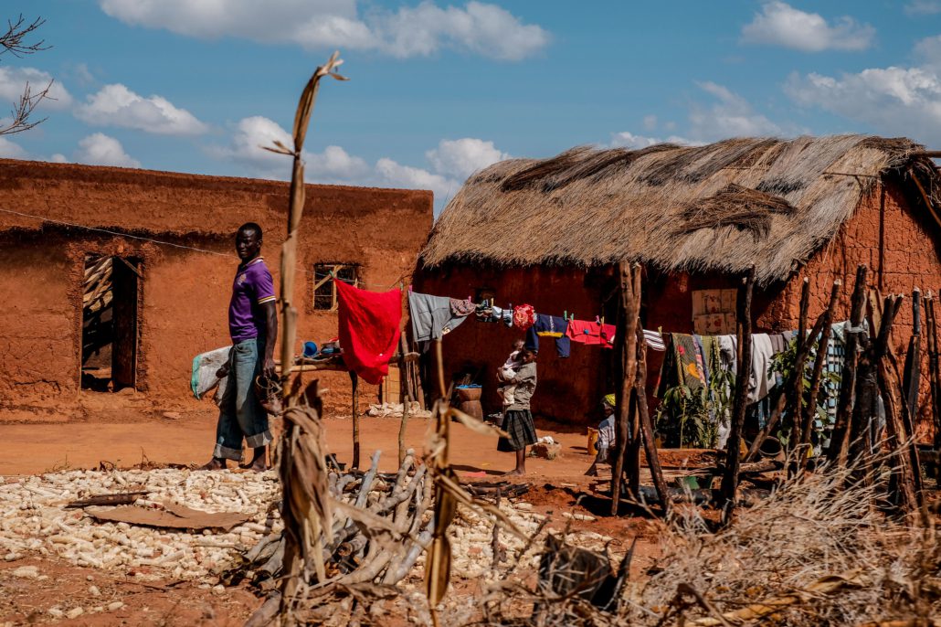
Real-World Application of Satellites & AI in Africa
Stanford researchers have developed an innovative tool that combines satellite imagery and artificial intelligence (AI) to estimate poverty levels across African villages. By analyzing both nighttime and daytime satellite images, the tool identifies indicators of development, such as lights at night and human infrastructure during the day. Deep learning algorithms create an asset wealth index, a common measure of household wealth, based on these characteristics. Tested on around 20,000 African villages, the tool accurately gauges poverty levels over different time periods.
This technology has substantial potential to combat poverty in Africa by providing valuable economic data at local and broad scales. It facilitates improved targeting of anti-poverty programs, aids in product distribution by NGOs and supports market growth analysis for businesses. The democratization of this technology, with publicly available satellite imagery, makes it accessible for widespread use. By addressing the challenge of measuring economic progress and poverty interventions, this tool contributes to enhancing the well-being of impoverished populations in Africa.
As the world continues to improve and expand the use of artificial intelligence and satellite imagery, the fight against global poverty will become a powerful ally. With clear data and innovative solutions, these technologies can significantly reduce poverty and offer hope for a more equitable world.
– Suhani Bhattad
Photo: Flickr
