Space Technology Combats Poverty
 Space technology is a multifaceted tool that can help preserve the environment and improve agricultural success. Space technology combats poverty in communities by tracking global poverty, monitoring natural disasters, measuring pollution, protecting wildlife and managing resources.
Tracking and Predicting Poverty
Space technology is an emerging method for pinpointing and combating poverty. Data from satellites and algorithms can help countries accurately determine the most impoverished communities in need of resources in order to best assist the communities.
For example, nighttime images from satellites can reveal the areas that can afford electricity and the areas that cannot. Nighttime electricity use can have greater implications for economic activity and performance, which governments can study to better understand the distribution of wealth.
Once governments understand the geography of poverty in their countries, governments can distribute resources effectively. Satellites can also capture images of crops to help farmers estimate their harvest sizes. At large, countries can use crop data to understand local economies, assist farmers with crop insurance and warn them about potential crop failure.
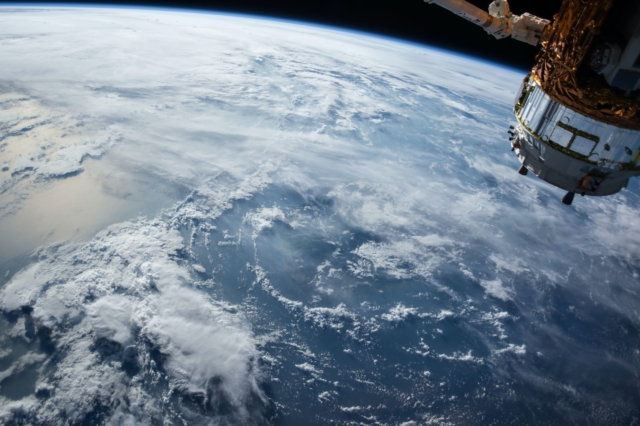
Monitoring Natural Disasters
Space technology also combats poverty by monitoring natural disasters around the world. Satellites track a wide range of natural disasters, including wildfires, earthquakes, tsunamis, storms and floods. Satellites can also locate human-prompted events such as industrial accidents and oil spills.
By tracking global environmental disasters, space agencies allow the international community to pinpoint at-risk areas and distribute aid accordingly. Countries can use satellite data to better prepare for environmental disasters and identify the regions that will experience the most damage, and therefore, require the most aid. Additionally, when satellites predict an impoverished community will experience a natural disaster, the community can more effectively prepare for it in order to mitigate damage and destruction.
Protecting the Environment
Satellites can also be used to measure pollution and protect wildlife. By measuring water, air and soil pollution, satellites can distinguish between natural resources that are safe to consume and natural resources that are best used for agricultural purposes. Satellites can also locate areas contaminated by oil spills and mining activities.
With this knowledge, governments can work more efficiently to contain and address pollution. Additionally, satellites protect wildlife by tracking changes in ecosystems. The use of satellites helps the global community understand and preserve biodiversity by monitoring various habitats and species.
Countries can use information from satellites to make more constructive efforts at maintaining wildlife, natural resources, and ultimately, agricultural success. Space technology combats poverty by protecting the environment and improving agriculture in impoverished areas.
Managing Resources
Space technology can also locate and manage natural resources in impoverished areas. According to the United Nations Office for Outer Space Affairs, space-based innovations are promising solutions to environmental and natural resource-related conflicts in developing countries. Remotely collected data from satellites can inform areas of study such as agriculture, geology, surveying, inventory and land use.
Experts in these fields can use knowledge from satellite data to help impoverished communities maximize land use and natural resources. As a tool for collecting expansive global data, space technology combats poverty by helping developing countries gather and monitor data to make the most informed decisions.
With the help of satellites, governments can locate vulnerable areas and direct aid to the people most in need. Space technology ensures decision-making targets those who will benefit the most.
– Cleo Hudson
Photo: Unsplash
