Space Technology is Reducing Food Insecurity
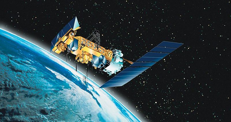 The concept of space technology is almost always associated with astronauts and exploration; however, some of the most important impacts are actually occurring on Earth. World hunger is becoming an increasing risk, particularly to developing nations, under the influence of the changing climate. An estimated 266 million people across 47 countries are facing acute food insecurity. Space technology is helping vulnerable countries such as Kenya, Bangladesh and Ethiopia predict climate risks, improve agricultural productivity and distribute aid more effectively. In Bangladesh, extreme poverty is projected at 9.3%, though nearly one-third of the population remains vulnerable. Kenya’s overall poverty rate sits at nearly 40%. Ethiopia projects an increase to 43%.
Bangladesh
In Bangladesh, space technology is reducing food insecurity by improving flood prediction and disaster management. Google has created its own platform called Flood Hub, an interactive map that satellite technology continuously monitors and updates. This platform allows individuals worldwide to check the expected risk severity of floods. It is particularly useful for farmers because it provides a high-resolution and accessible platform, transforming flood disaster management from reactive to anticipatory. This allows farmers to protect agriculture and food supplies, since its warnings incentivize them to harvest earlier and prevent large-scale crop losses.
A more recent and unique adaptation in Bangladesh to severe flooding and prolonged waterlogged land is the creation of “Floating Vegetable Gardens,” or dhap. Humanitarian agencies use satellite terrain data and historical inundation mapping to identify areas that remain flooded for months. This data guides the calculated placement of the dhaps to utilize wetland resources. As a result, communities gain up to 40% more arable land to grow nutrient-dense food, even when the landscape is underwater.
Kenya
In Kenya, 4.4 million people struggle to feed themselves. Space technology is reducing food insecurity by improving drought prediction and climate-smart farming. It does this by providing detailed information on the strength, location, spatial extent and duration of droughts. Satellites such as Advanced Scatterometer (ASCAT) can map soil moisture, since a stronger signal indicates a higher concentration of water in the soil. Another method that helps forecast droughts is the Vegetation Condition Index (VCI), which measures how green the vegetation in a specific area is compared to the past. Satellites photograph the land, allowing scientists to compare differences in wavelength bands across images and track how vegetation conditions change. This method can detect canopy moisture loss and thermal stress before visible signs of wilting appear, meaning experts can spot natural droughts weeks before they manifest on the ground.
Satellite technology can combat widespread hunger through smart farming. One example is where space data is paired with the Internet of Things (IoT) and artificial intelligence tools on platforms such as Synnefa. Synnefa is a Kenyan agritech company founded in 2014 that operates across 13 African countries. It helps more than 32,000 farmers optimize operations through its FarmCloud platform and smart hardware. The platform gives farmers access to sensor data such as temperature, soil moisture and nitrogen levels in the soil. This access lets them make informed decisions about when to irrigate or fertilize their crops, which maximizes crop yield and reduces vegetation death.
Ethiopia
In Ethiopia, researchers are testing predictive machine learning models that use satellite data to help predict crop yields, forecast droughts and optimize harvests. These models scan the Earth using multispectral imagery combined with live vegetation index, historical weather patterns, soil health registries and temperature grids. The models then process this dense geospatial data and translate it for farmers through text messages, automated voice calls or interactive chat channels in native languages like Amharic or Oromo. Early research from Eastern Ethiopia shows these models can meaningfully improve crop yield forecasting accuracy. However, results vary by crop and region, and researchers say further work is needed before the technology can be deployed at scale across Ethiopian farms.
Although space technology may seem far removed from the daily realities of poverty and hunger, its impact is increasingly being felt in some of the world’s most vulnerable communities. From improving flood forecasting in Bangladesh to enabling climate-smart farming in Kenya and AI-powered crop prediction research in Ethiopia, satellite technology is helping farmers make better decisions, protect livelihoods and increase food production in the face of climate change. As food insecurity continues to affect millions across the globe, investment in innovative technologies such as these could play an important role in building more resilient agricultural systems and advancing progress toward ending hunger.
– Sumi Shrestha
Sumi is based in Tonbridge, UK and focuses on Technology and Solutions for The Borgen Project.
Photo: Flickr
